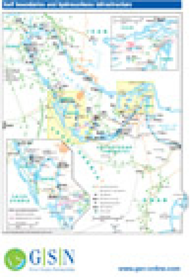
Revised in January 2011, this map provides a detailed overview of hydrocarbons infrastructure across the Gulf region. Major oil and gas fields are shown, alongside pipelines, gas processing facilities, tanker terminals and LNG and GTL sites. Two inset maps show greater detail of the Strait of Hormuz and the area of the Gulf around Bahrain and Qatar.
Single GSN map
£495
(Single GSN map or graphic)
Subscribe to Gulf States Newsletter
Gulf States Newsletter is a brand of